

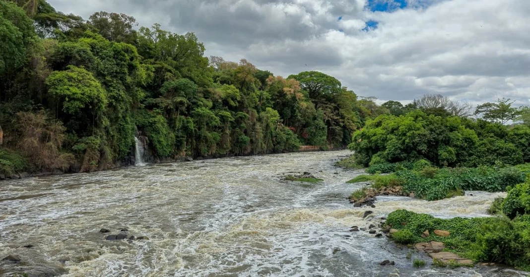
HydroSHEDS v2 covers North, Central and South America
Esri has made HydroSHEDS v2 publicly available for the first time, starting with North, Central and South America through ArcGIS Living Atlas. The release gives GIS users high-resolution hydrographic data for watershed and river network analysis.
Across the Americas, the initial dataset provides comprehensive hydrographic coverage. It marks the first phase of a wider global rollout, with more regions due later.
Users can apply HydroSHEDS v2 to flood risk assessments, climate resilience studies, freshwater ecosystem conservation, infrastructure planning and water resource management. It also supports environmental modelling, scientific research, systematic conservation planning and operational decision-making.
Confluvio Consulting led development of the foundational dataset with the German Aerospace Centre, or DLR, and Esri. World Wildlife Fund in the US and McGill University began the broader collaboration behind the framework.
ArcGIS Living Atlas release
Using TanDEM-X elevation data and Arc Hydro workflows, HydroSHEDS v2 produces more accurate drainage networks, watershed boundaries and hydrologic connectivity. Those improvements aim to give scientists and planners more consistent data across large areas.
Through ArcGIS Living Atlas, Esri is distributing the datasets to GIS professionals, scientists, environmental organisations and water resource managers. That access should improve analysis and decision-making across the Americas.
Sean Breyer, director for ArcGIS Living Atlas, called HydroSHEDS v2 “a major milestone in hydrographic data development and international collaboration”. He tied the release to high-resolution elevation data, Arc Hydro processing and broad access in ArcGIS Living Atlas.
Breyer added that the framework should help researchers, governments, NGOs and other organisations manage water resources across the Americas. Meanwhile, Esri plans to extend the same framework worldwide in later phases.
Bernhard Lehner, associate professor at McGill University and Confluvio cofounder, called HydroSHEDS v2 “an important new foundation for hydrologic science, conservation planning, and water resource management”. His role links McGill University with Confluvio, two of the groups that helped build the dataset.
Named partners in the project include Esri, World Wildlife Fund in the US, McGill University and Confluvio Consulting in Canada, and DLR in Germany.
For now, public access covers North, Central and South America. Additional global releases are planned as part of the phased rollout.